Drawings of Auckland
Digitally Hand DrawnAs part of an early 2018 Critical Studies course that looked at public space, I drew a number of views of Aotea Square and Mount Eden Village.
These drawings were all done on a Surface Pro tablet using Autodesk’s SketchBook Pro drawing software. The scenes were based on photographs I took onsite that show the public spaces. The sections were also drawn digitally, but used a variety of methods to gain the final composition.
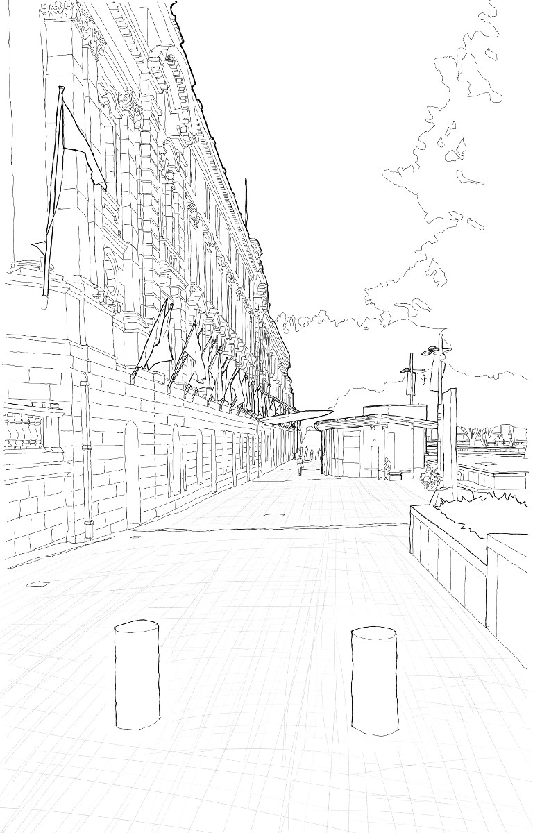
AUCKLAND TOWN HALL
Looking down the north-western façade towards Greys Avenue.

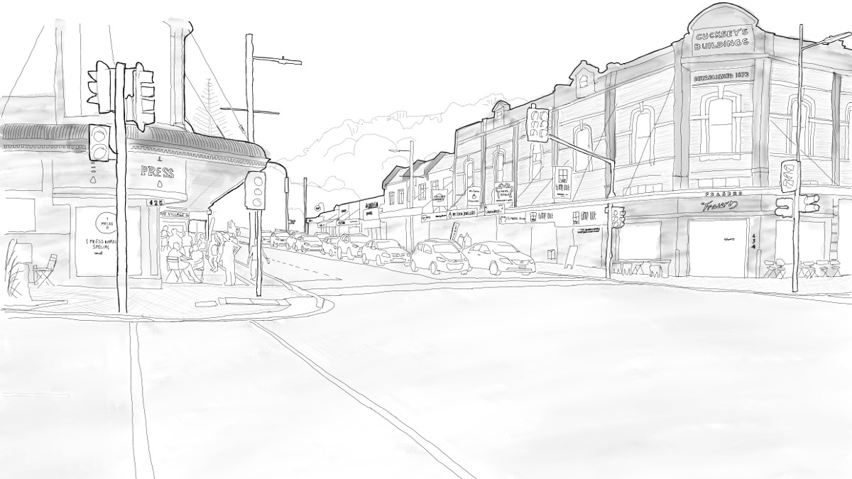
JUNCTION OF MOUNT EDEN ROAD AND STOKES ROAD
Looking north with the volcanic cone in the background.


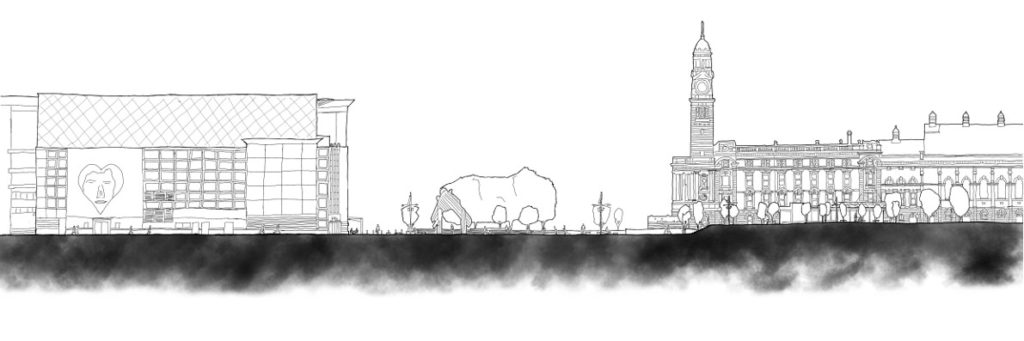
SECTION THROUGH AOTEA SQUARE
Section cutting roughly north-south, and looking east. From Bledisloe Lane through Aotea Square, with Metro Centre and Auckland Town Hall shown.

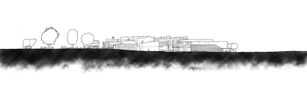
SECTION THROUGH MOUNT EDEN VILLAGE
Section cutting roughly east-west, and looking north. From left to right, cutting through: a carpark, Essex Reserve, Newnham Lane, access walkway, Mount Eden Road, and shops.
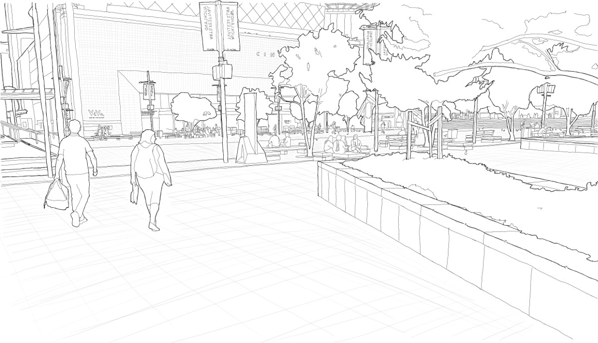
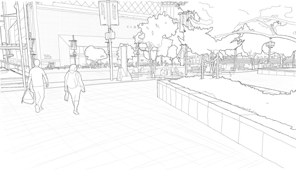
AOTEA SQUARE
Looking north across the square towards the Metro Centre.
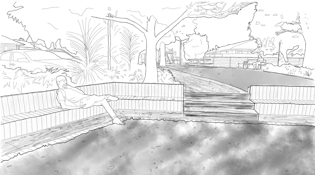
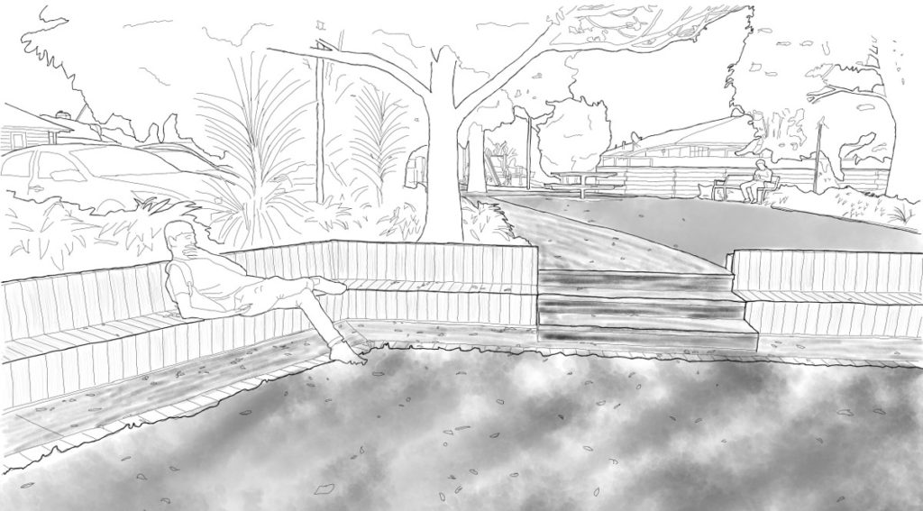
ESSEX RESERVE ENTRANCE
A small park that runs behind the Mount Eden Village shops.